
(This will be probably be the last biking post for a little while, then back to regularly-scheduled tech! Thanks for indulging me.)
Before the NYC Century ride, I couldn’t find good maps of the 55-miler, so I tracked the route on my Garmin yesterday so I could share it later. I think we got off the official route a few times for short periods, but here it is (of course, it changes frequently and could be different next year):
Update (October 2026): this map was originally an embedded Google Map that loaded the route file from my web site. Google Maps no longer supports maps made that way, so I’ve replaced it with a picture of the same route, drawn from the original file.
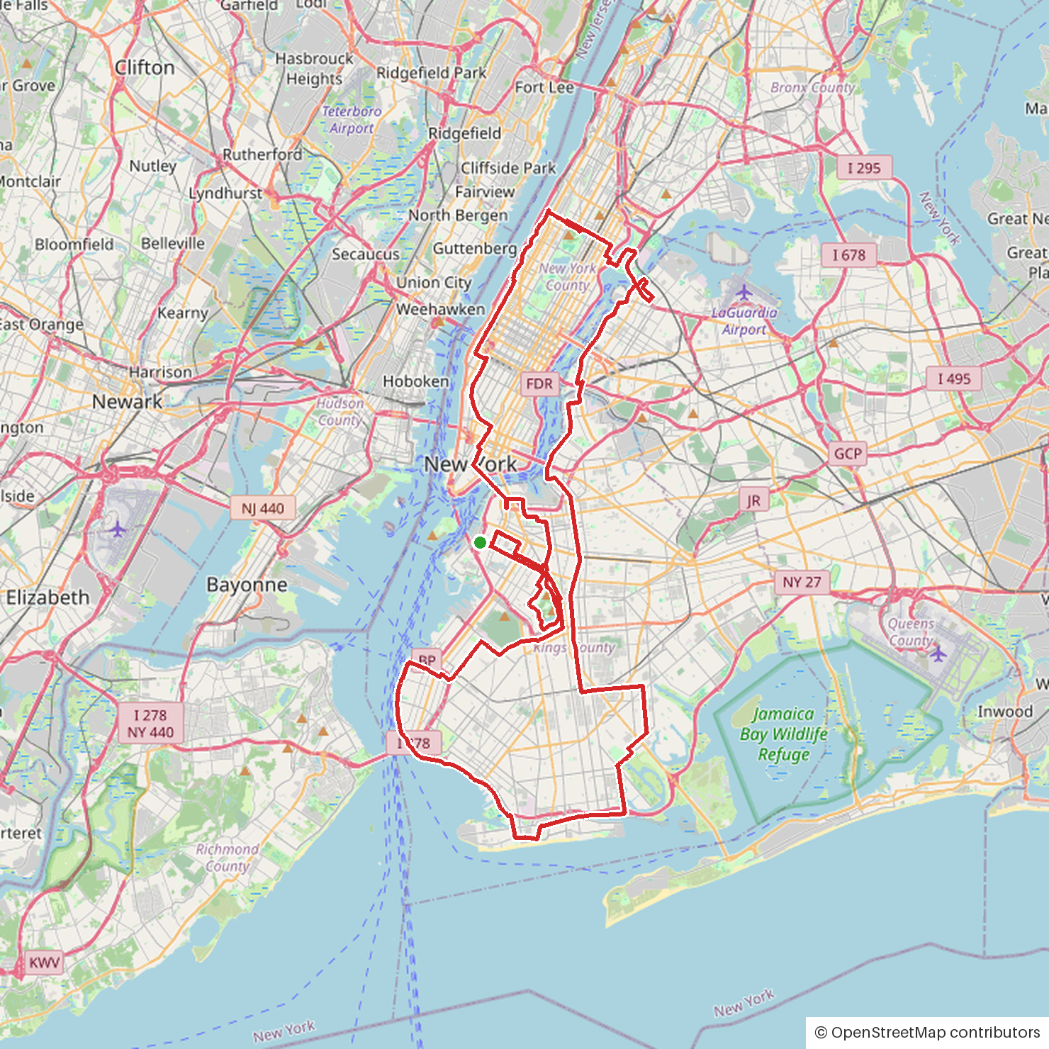
Enjoy. I’ll add the elevation profile and all that when I have a little more time. There was about 1400 feet of climbing.
It was a really awesome ride, as much for the sense of community among the riders as the ride itself.


I think you can do it the 55-mile route.
fight!